EAGLE CREEK
1.
\//\
2.
\//\
3.

\//\
4.
\//\
5.
\//\
6.
\//\
7.

\//\
8.

\//\
9.
\//\
10.
\//\
11.
\//\
12.
\//\
13.

\//\
14.
\//\
15.

\//\
16.

\//\
17.
\//\
18.
\//\
19.
\//\
trip report
4/5/25
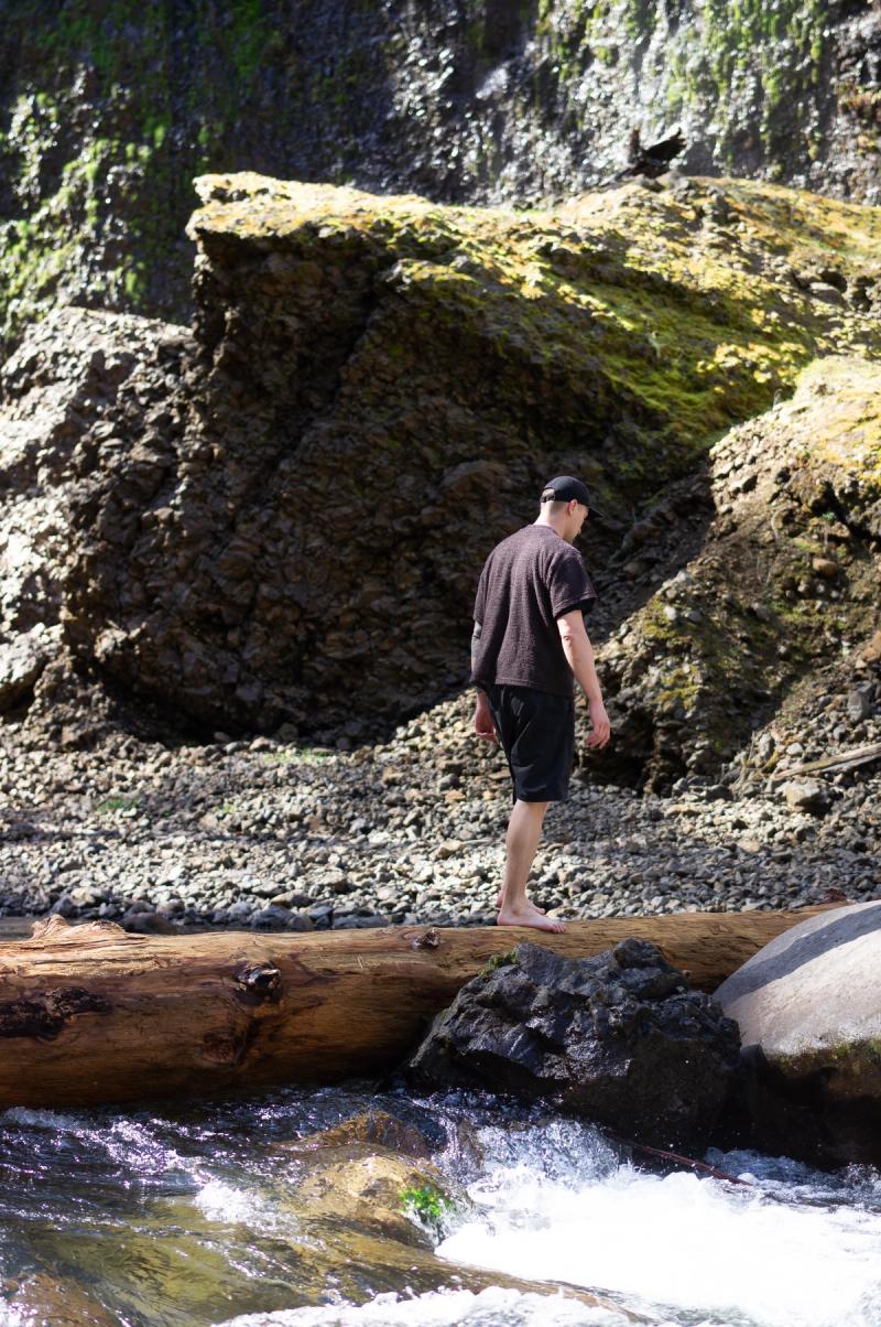
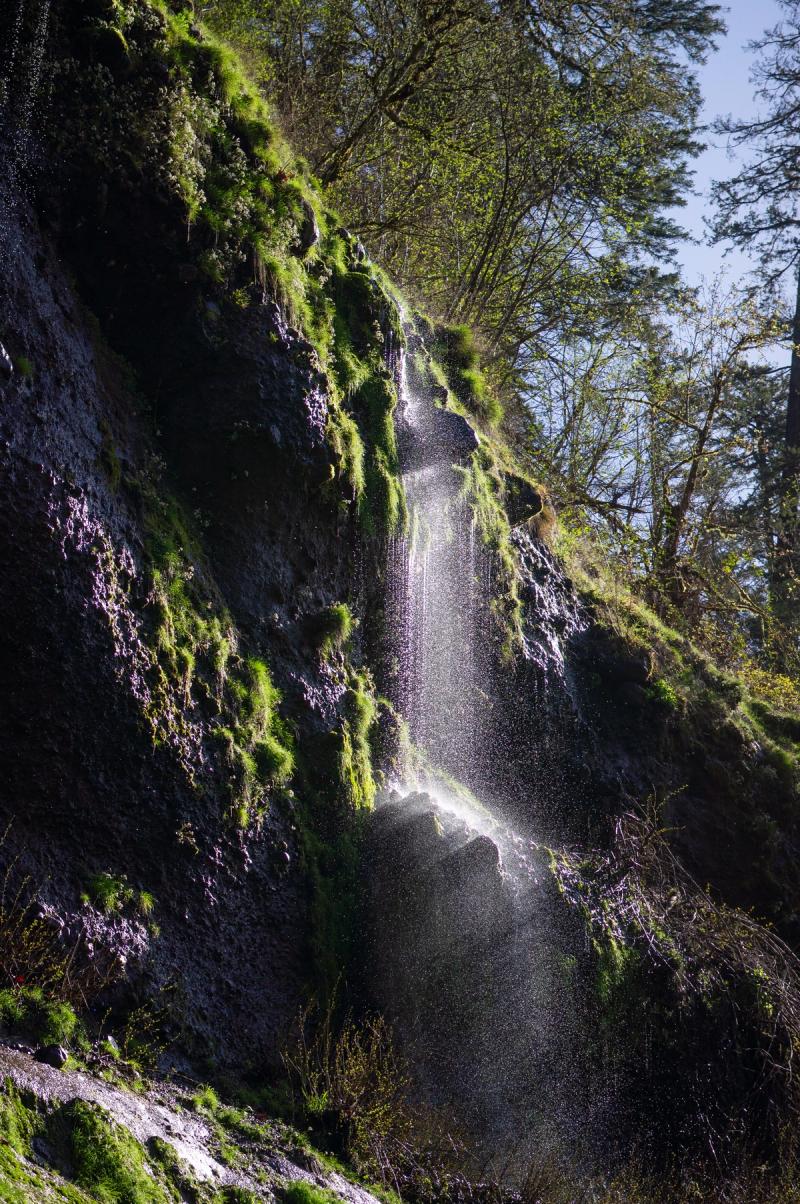
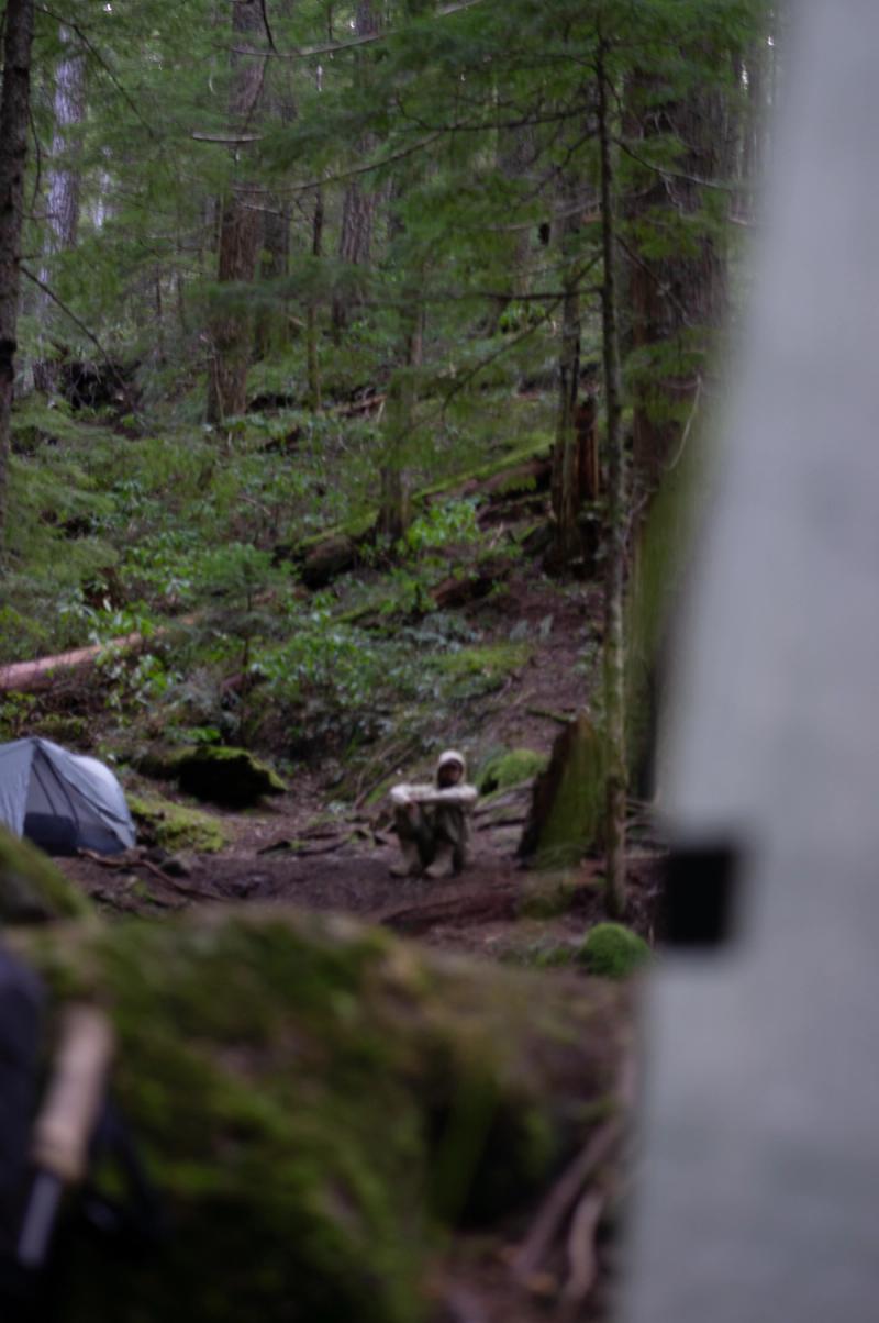
The Eagle Creek Trail, located in the Columbia River Gorge National Scenic Area in Oregon, is a popular hiking route known for its scenic waterfalls and dramatic basalt cliffs. In spring, the trail features increased water flow due to seasonal snowmelt and rainfall, resulting in higher volumes at waterfalls such as Punch Bowl Falls and Tunnel Falls.
The Eagle Creek Trail features at least six major named waterfalls, but if you include smaller or unnamed cascades, the number can easily rise to 10–12 or more.
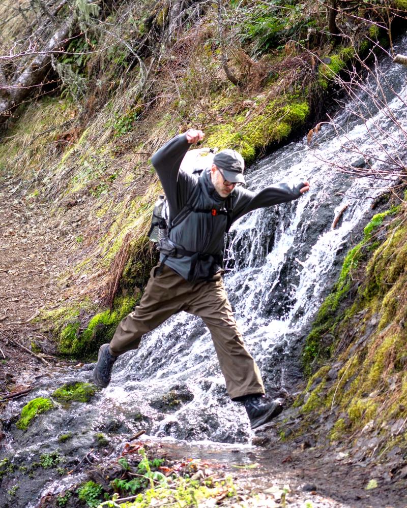
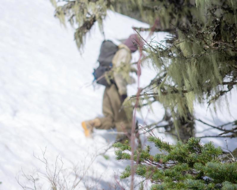
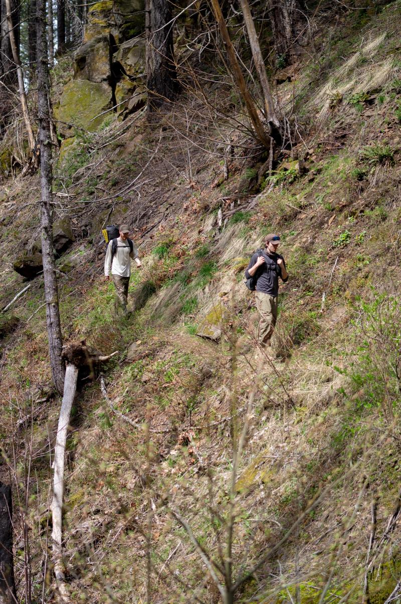
Vegetation along the trail becomes dense and vibrant, with new growth on trees, ferns, and underbrush. Wildflowers typically begin to bloom during mid to late spring. Trail conditions can be wet, muddy, and occasionally slippery, especially on the narrower sections that traverse cliffside ledges.
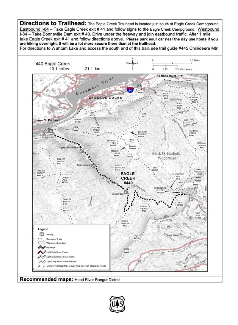
• Length: Approximately 13.1 miles, extending from the Eagle Creek Trailhead to Wahtum Lake. (26.2 miles total).
• Elevation Gain: About 3,000 feet.
• Difficulty: Moderate to strenuous, with narrow sections along sheer cliffs lacking handrails.
• Key Features: Notable waterfalls include Punch Bowl Falls (accessible via a side trail ~2 miles in), High Bridge (~3 miles in, spanning 150 feet above the creek), and Tunnel Falls (~7 miles in, where the trail passes behind the waterfall).
On April 4, 2025, the weather at Eagle Creek Trail was sunny, with a high temperature of 68°F and a low of 33°F. The following day, April 5, 2025, conditions remained clear and warm, with a high of 72°F and a low of 49°F.
eagle creek references
From the U.S. DEPARTMENT OF AGRICULTURE
"The Eagle Creek Trail #440 is the most popular trail in the Columbia Gorge. It follows Eagle Creek through the forest and along paths carved into basalt cliffs. Eagle Creek Trail offers spectacular viewpoints and waterfalls. On parts of this trail, there are sheer cliffs with no guard rails, so this hike may not be suitable for children, pets, or those afraid of heights. This trail is part of a multi-day loop opportunity which continues into the Mark O. Hatfield Wilderness on the Hood River Ranger District.
This trail begins at Eagle Creek Campground on the Columbia River Gorge National Scenic Area and ends at Wahtum Lake. From Eagle Creek Overlook (120’), the trail climbs gradually southeast following Eagle Creek. After 2 miles the trail reaches spectacular Punch Bowl Falls (500’), where water spills 100 feet into a blue-green pool set in a large grotto. The trail continues following Eagle Creek under heavy forest 1.6 miles to High Bridge (560’), which traverses the gorge 150 feet above the creek. From High Bridge, the trail heads southeast 1.4 miles, enters the Mark O. Hatfield Wilderness, and continues 0.4 mile to the junction with Eagle Benson Trail #434. From the junction the trail climbs 0.8 mile to Tunnel Falls (1,240’), where the trail passes through a tunnel behind a shower of falling water. Continuing along Eagle Creek, the trail heads due south 1.6 miles to the junction with Eagle Tanner Trail #433 (1,560’). The trail leaves Eagle Creek at this junction and heads northeast; it climbs around a ridge above East Fork Eagle Creek after 2 miles and begins to turn south. 0.1 mile after turning south, the trail reaches the junction with Indian Springs Trail #435 (2,560’). Turn left (east) to stay on #440 and continue climbing 6 miles to the trail’s end at the junction with the Pacific Crest Trail #2000 near Wahtum Lake (3,800’). Follow #2000 along the south shore of Wahtum Lake to reach the parking area near Wahtum Lake Campground."
Eagle Creek Trail #440
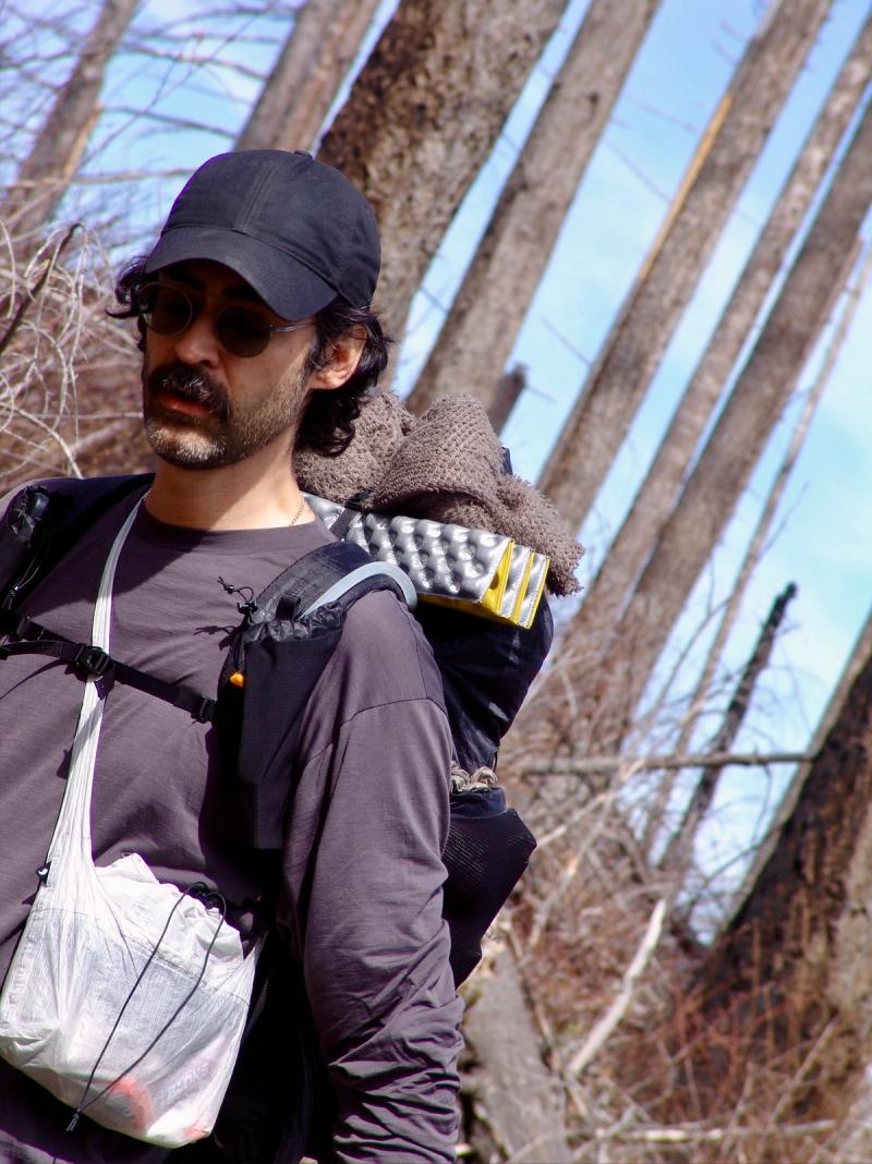
gnuhr products wear test
gnuhr creeper crew
gnuhr power hoodie
gnuhr breaker wind shirt
gnuhr sling 2 v2.0 DCF
gnuhr sling 1 v2.0 DCF
gnuhr shag hoodie
gnuhr backpack (coming soon...)
gnuhr forager pant (coming soon...)